Kongsberg Geospatial will be exhibiting at XPONENTIAL taking place May 11–14 in Detroit, Michigan.
Visit us at Booth 34013!
Book a Meeting

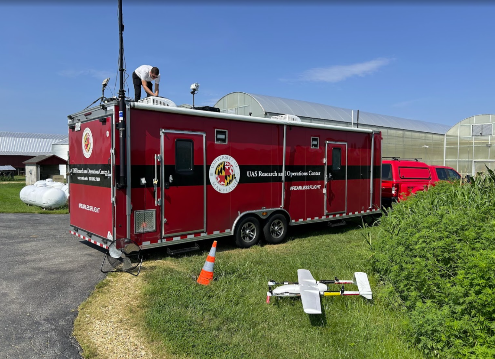
Kongsberg Geospatial has successfully deployed its IRIS Terminal at the University of Maryland’s UAS Research and Operations Center (UROC) to support BVLOS medical drone deliveries to Smith Island. By integrating multiple radar and telemetry feeds into a unified operating picture, IRIS enhances situational awareness and safety for this critical medical logistics corridor.
Kongsberg Geospatial today announced the successful deployment of its IRIS Terminal at the University of Maryland’s UAS Research and Operations Center (UROC). The system will initially support medical supply deliveries across the Chesapeake Bay to Smith Island, a community often challenged by transportation constraints. By fusing ownship telemetry with data from Echodyne, MatrixSpace, and ADS-B receivers, IRIS provides UROC with a unified airspace picture and advanced decision-support tools, strengthening safe and scalable BVLOS operations in partnership with UMD’s leadership in uncrewed aviation research.
Kongsberg Geospatial today announced the successful deployment of IRIS Terminal at the University of Maryland’s UAS Research and Operations Center (UROC). The capability will initially be used to support the delivery of medical supplies across the Chesapeake Bay to Smith Island, advancing safe and scalable BVLOS (Beyond Visual Line of Sight) operations in partnership with UMD’s leadership in uncrewed aviation research, rulemaking, and national airspace integration.
IRIS Terminal provides real-time, map-centric situational awareness by fusing ownship telemetry and multiple cooperative and non-cooperative surveillance feeds into a single operating picture. At UMDUROC, the deployment integrates ownship telemetry via MAVLink with Echodyne EchoGuard® and EchoShield® radars, MatrixSpace radars, and PingStation® ADS-B receivers to enhance airspace visibility and operational safety for the Smith Island medical logistics corridor.
“The University of Maryland’s Smith Island initiative demonstrates how uncrewed systems can deliver immediate, life-improving outcomes for communities while informing the path to broader BVLOS adoption,” said Jordan Freed, President, Kongsberg Geospatial. “By deploying IRIS Terminal at UROC, we’re helping operational teams see the airspace more clearly, coordinate more effectively, and make timely decisions with confidence.”
The Smith Island route connects Crisfield, Maryland, with Smith Island, a community where access to care is frequently challenged by weather and transportation constraints. With multi-sensor fusion, configurable geofences, alerting, and audit-ready data logging, IRIS Terminal equips UROC’s flight operations with the airspace awareness and operational tooling needed to safely plan and conduct complex missions.
Key capabilities delivered at UMD UROC
Background
UMD’s UAS Research and Operations Center has publicly outlined its medical drone delivery program for Smith Island, supported by State of Maryland funding announced in late 2024. The initiative is part of a broader effort to mature BVLOS operations in alignment with anticipated federal rulemaking timelines and to demonstrate high-value, real-world use cases for uncrewed aircraft in the national airspace.
About the University of Maryland UAS Research and Operations Center
The UAS Research and Operations Center (UROC) at the University of Maryland advances research, testing, and real-world operations for uncrewed aircraft systems, contributing to commercialization and integration of UAS into the national airspace.
Media Contact
Kenza Loulidi
Kongsberg Geospatial
Kenza.loulidi@kongsberggeospatial.com
About Kongsberg Geospatial:
Based in Ottawa, Canada, Kongsberg Geospatial (https://kongsberggeospatial.com), developer of the TerraLens Geospatial SDK, creates precision real-time software for air traffic control UAS and situational awareness. The Company’s products are primarily deployed in air-traffic control, Command and Control, and air defense solutions. Over three decades of delivering dependable performance under extreme conditions, Kongsberg Geospatial has become the leading geospatial technology provider for mission-critical applications in Aerospace, Defense, and the rapidly evolving Commercial UAV market. Over three decades of providing dependable performance under extreme conditions, Kongsberg Geospatial has become the leading geospatial technology provider for mission-critical applications where lives are on the line. Kongsberg Geospatial is a subsidiary of Kongsberg Defense & Aerospace.
Kongsberg Geospatial is a fully owned subsidiary of Kongsberg Defence & Aerospace
Back To Top
.svg)