Kongsberg Geospatial will be exhibiting at XPONENTIAL taking place May 11–14 in Detroit, Michigan.
Visit us at Booth 34013!
Book a Meeting
Learn More

Learn More

Learn More
Learn More

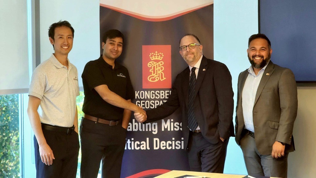 Kongsberg Geospatial and NordSpace Sign Memorandum of Understanding to Advance Canada’s Responsive Space Launch Capabilities.
Kongsberg Geospatial and NordSpace have partnered to advance Canada’s responsive space launch capabilities. Leveraging Kongsberg’s TerraLens SDK and mission visualization expertise, the collaboration will support NordSpace’s Atlantic Spaceport Complex in Newfoundland, providing real-time 3D visualization, range safety, and rapid launch readiness. Building on decades of experience in mission-critical air and space operations—including projects in Norway and Canada—this partnership will help Canada deploy critical space missions in under 48 hours, while strengthening the nation’s aerospace and defense innovation ecosystem for both commercial and government applications.
 Kongsberg Powers Defence Across Land, Sea, and Air in Canada
Kongsberg in Canada is a trusted partner to the Canadian Armed Forces across land, sea, and air. From the Royal Canadian Navy’s future River-class destroyers to the Canadian Army’s remote weapon stations and the RCAF’s F-35A, Kongsberg technologies deliver operational advantage and strengthen sovereignty. With over 160 employees nationwide, we bring together Norwegian innovation and made-in-Canada expertise. Our companies work together as one voice, equipping Canada with proven systems, local support, and future-ready solutions.
 Kongsberg in Canada Supports Groundbreaking of Kingston Digital Facility with Critical Technology Contribution
Kongsberg in Canada has contributed technology to NAV CANADA’s Kingston Digital Facility, a new site under the DAATS program that will centralize air traffic services for multiple airports. The facility serves as a transitional testbed for Canada’s future permanent digital hub, reflecting a global trend of digital air traffic centers in 16 countries. Kongsberg’s software enhances situational awareness, geospatial visualization, and remote tower operations, supporting safer, more efficient, and adaptable air traffic services.
 Kongsberg Geospatial and TACTIQL Sign MOU to Drive Dual-Use Innovation in Geospatial and ISR Solutions
Kongsberg Geospatial has signed an MOU with Canadian start-up and NATO DIANA company TACTIQL Inc. to collaborate on opportunities that merge real-time geospatial visualization with airborne sensor data interoperability. The partnership will focus on developing integrated solutions for defense and commercial markets, enhancing situational awareness, decision-making, and dual-use applications in Canada and internationally.
Kongsberg Geospatial is a fully owned subsidiary of Kongsberg Defence & Aerospace
Back To Top
.svg)


.jpeg)
.jpeg)
