Kongsberg Geospatial will be exhibiting at XPONENTIAL taking place May 11–14 in Detroit, Michigan.
Visit us at Booth 34013!
Book a Meeting
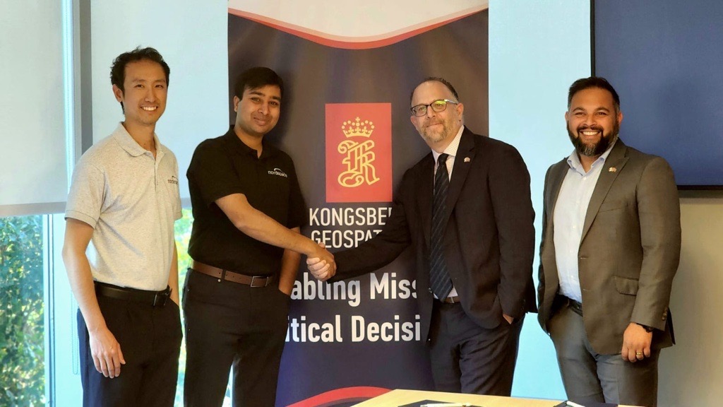
Kongsberg Geospatial and NordSpace have signed an MoU to collaborate on advancing Canada’s sovereign space launch capabilities, combining expertise in mission control, visualization, and launch infrastructure to support rapid, safe, and sustainable operations from Canadian soil.
Continue reading

From advanced ship systems to geospatial software and autonomous technologies, Kongsberg in Canada provides trusted solutions to the Canadian Armed Forces. With over 160 employees nationwide, we combine global expertise with Canadian innovation to strengthen national defence and sovereignty.
Continue reading

Kongsberg in Canada is supporting NAV CANADA in the groundbreaking of the Kingston Digital Facility, a first-of-its-kind site for digital air traffic services. The facility will centralize operations for multiple airports, with Kongsberg providing technology for geospatial visualization, situational awareness, and remote tower capabilities. Completion is expected in summer 2026.
Continue reading

Kongsberg Geospatial and TACTIQL Inc. have entered into a partnership to combine geospatial expertise with ISR data interoperability, supporting decision-making in defense and commercial markets.
Continue reading
Kongsberg Geospatial is a fully owned subsidiary of Kongsberg Defence & Aerospace
Back To Top
.svg)


.png)