Kongsberg Geospatial will be exhibiting at XPONENTIAL taking place May 11–14 in Detroit, Michigan.
Visit us at Booth 34013!
Book a Meeting
Written
December 1, 2020

Written by the Engineering Team, Kongsberg Geospatial
Even in closed systems, the massive data storage requirements for high-resolution maps strain traditional client-only deployments, increase hardware costs, and make it difficult to provide the data you need to existing deployments today.
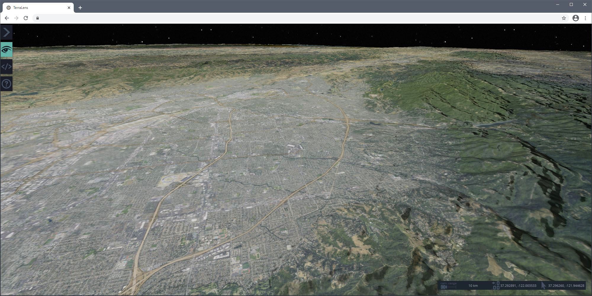
Kongsberg Geospatial’s TerraLens SDK provides all the tools necessary to deploy powerful geospatial applications today, and meet the requirements of the future.
Based on industry-standard OGC WMS and WMTS protocols, TerraLens can not only consume remote map data, but in the case of WMTS, produce it as well, enabling a wide range of deployment scenarios.
As a client, TerraLens can consume WMS and WMTS maps from any compliant server, providing the full range of real-time display options, and for WMTS, the TerraLens 3DWeb SDK brings those same capabilities to browsers.
As a server, TerraLens provides access to its wide array of format support, enabling access to new data with no offline conversion. Powered by its comprehensive map rendering technology, raster and vector maps can be adjusted, combined, and styled before being delivered in efficient, cacheable raster formats.
If you are developing an application requiring a real-time mapping or geospatial component, you can learn more about TerraLens at the link below.
Kongsberg Geospatial is a fully owned subsidiary of Kongsberg Defence & Aerospace
Back To Top
.svg)